ATI TOPICS
environment
All That’s Interesting’s catalog of incredible and interesting environment articles.
Latest
All That’s Interesting’s catalog of incredible and interesting environment articles.

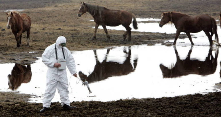
After the April 1986 nuclear disaster, a 30-kilometer zone around Chernobyl was completely abandoned. This is what it looks like today.
After the April 1986 nuclear disaster, a 30-kilometer zone around Chernobyl was completely abandoned. This is what it looks like today.
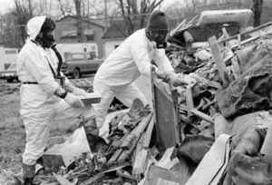

Dioxin contamination, compounded by a devastating flood, made Missouri's Times Beach no longer safe for its residents. By 1982, they were warned against returning to their homes.
Dioxin contamination, compounded by a devastating flood, made Missouri's Times Beach no longer safe for its residents. By 1982, they were warned against returning to their homes.

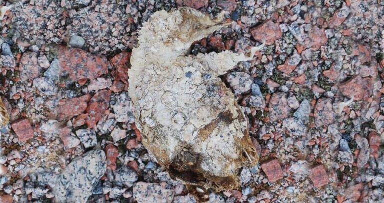
The freezing environment preserved some of the penguins so well that they still had feathers attached to them.
The freezing environment preserved some of the penguins so well that they still had feathers attached to them.


New Orleans is a city known for its cuisine, culture, and nightlife. It's also precariously situated below sea level — and now, some are learning just how much that affects this famous city.
New Orleans is a city known for its cuisine, culture, and nightlife. It's also precariously situated below sea level — and now, some are learning just how much that affects this famous city.
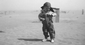

These Dust Bowl photos depicting enormous dust storms, destroyed farmland, and desperate migrants paint an evocative picture of one of the worst cataclysms in U.S. history.
These Dust Bowl photos depicting enormous dust storms, destroyed farmland, and desperate migrants paint an evocative picture of one of the worst cataclysms in U.S. history.

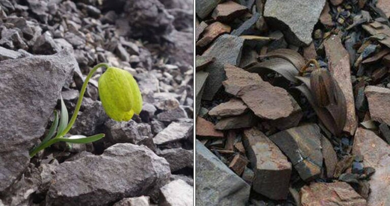
The bright green flower Fritillaria delavayi has been harvested by humans for medicinal purposes for the last 2,000 years. Now, it's turning brown to camouflage itself.
The bright green flower Fritillaria delavayi has been harvested by humans for medicinal purposes for the last 2,000 years. Now, it's turning brown to camouflage itself.
"Finding Chlamydiae in this environment was completely unexpected... And of course begged the question, what on earth were they doing there?"
"Finding Chlamydiae in this environment was completely unexpected... And of course begged the question, what on earth were they doing there?"

"We are doing what human beings have always done but we are doing it on an unprecedented scale with materials that are going to take hundreds, if not thousands of years, to biodegrade."
"We are doing what human beings have always done but we are doing it on an unprecedented scale with materials that are going to take hundreds, if not thousands of years, to biodegrade."
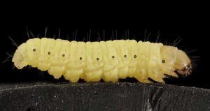

The tiny waxworm may hold the key to contending with one of our biggest environmental problems.
The tiny waxworm may hold the key to contending with one of our biggest environmental problems.
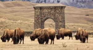
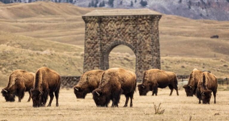
Grazing bison increase the density of microbes in the soil, leading to the creation of more of the nitrogen that's essential for plant health and growth.
Grazing bison increase the density of microbes in the soil, leading to the creation of more of the nitrogen that's essential for plant health and growth.
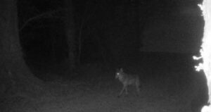

Experts said the animal captured in the footage was likely the long-lost wolf breed.
Experts said the animal captured in the footage was likely the long-lost wolf breed.

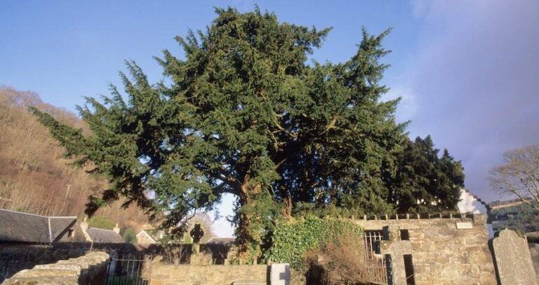
The Fortingall Yew may have been growing when the Pyramids and Stonehenge were being built.
The Fortingall Yew may have been growing when the Pyramids and Stonehenge were being built.
PO Box 24091
Brooklyn, NY 11202-4091