38 U.S. Census Maps That Reveal The True America

Published June 26, 2015
Updated October 24, 2019

How Our Land Looks From On High

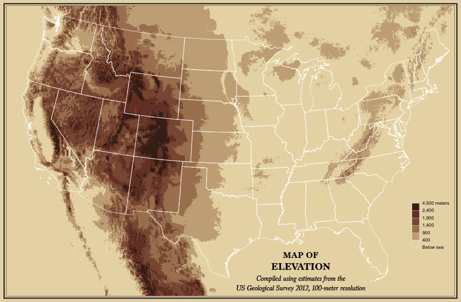
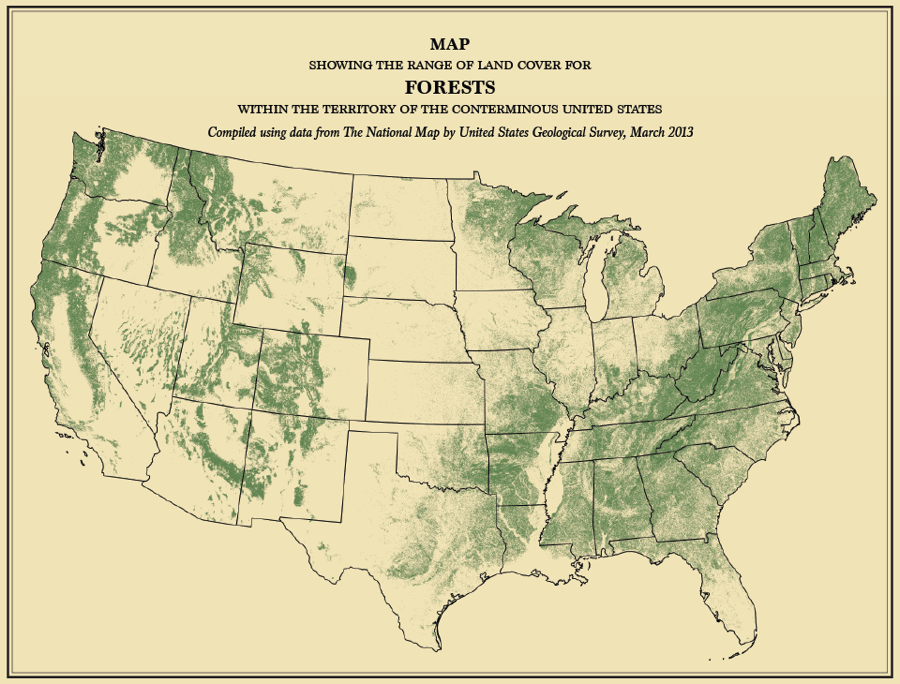
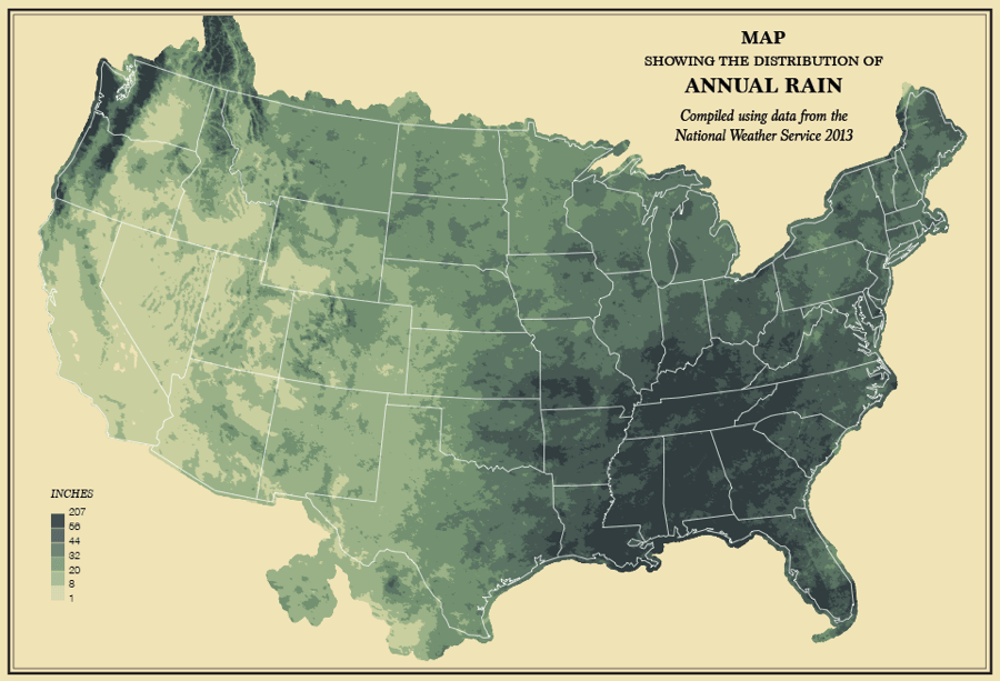
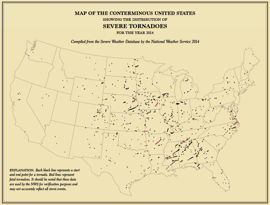
In which the west gets mountains, the east gets trees, and the large area in-between gets tornadoes…

U.S. Census Maps Elevation
U.S. Census Maps Forests
Map America Annual Rain
U.S. Census Maps Tornadoes
38 U.S. Census Maps That Reveal The True America
View Gallery

All maps sourced from FlowingData. Next, discover more maps that explain America and maps that make sense of the world.

author
John Kuroski
author
John Kuroski is the editorial director of All That's Interesting. He graduated from New York University with a degree in history, earning a place in the Phi Alpha Theta honor society for history students. An editor at All That's Interesting since 2015, his areas of interest include modern history and true crime.
editor
Savannah Cox
editor
Savannah Cox holds a Master's in International Affairs from The New School as well as a PhD from the University of California, Berkeley, and now serves as an Assistant Professor at the University of Sheffield. Her work as a writer has also appeared on DNAinfo.
Citation copied
COPY
Cite This Article
Kuroski, John. "38 U.S. Census Maps That Reveal The True America." AllThatsInteresting.com, June 26, 2015, https://allthatsinteresting.com/us-census-maps. Accessed February 5, 2025.